What it is
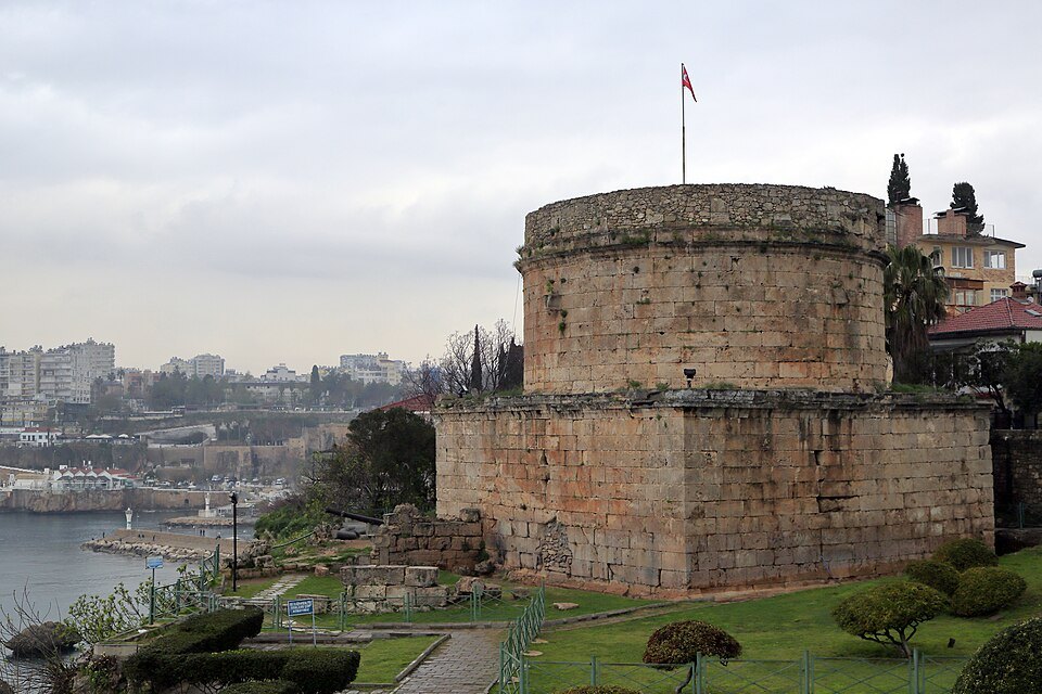
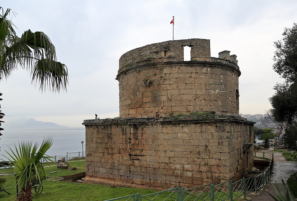
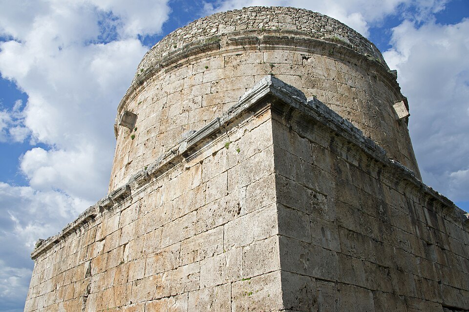
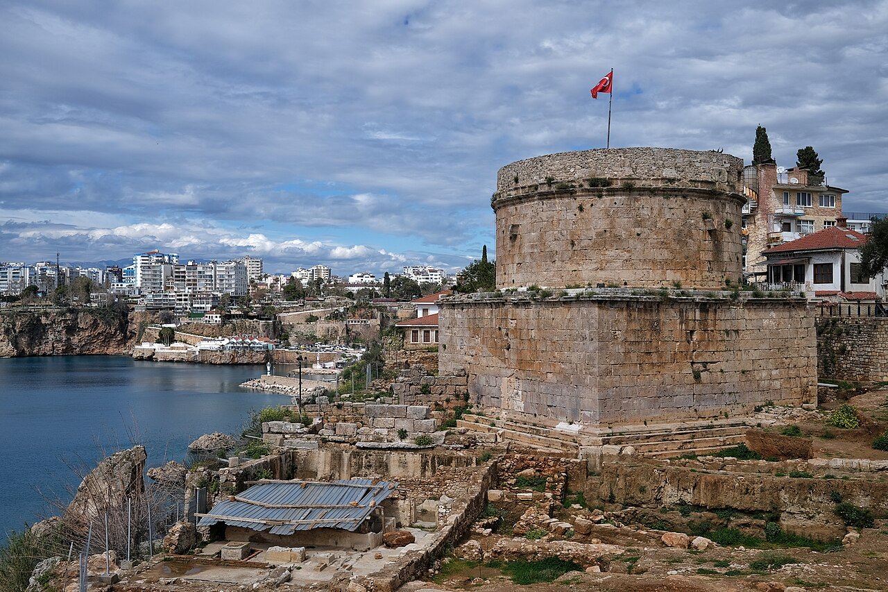
A second-century Roman tower of honey-colored stone: a square base carrying a round drum, standing where the old town wall turns the corner at the top of the cliff.
⭐ Nobody is certain what it was for. A monumental tomb is the usual answer, on the strength of its shape and the fasces carved on the base; a lighthouse or a watchtower are the others. It has stood there for nineteen centuries without the question being settled.
Why come
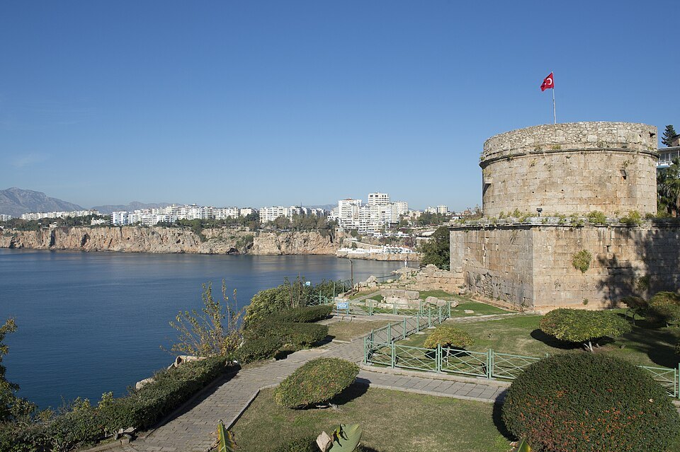
For the position rather than the building. It sits at the edge of Karaalioğlu Park, directly above the sea, and it is where the city goes to watch the sun go down behind the Beydağları — the mountains across the bay.
Tomb, tower or lighthouse
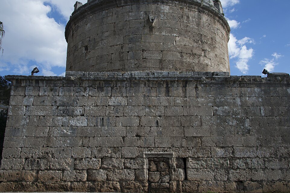
Hıdırlık Tower stands at the southern corner of the old town, where the land walls meet the sea walls. It is about 14 meters high and has two stories: a square podium carrying a round drum. The main door on the east side opens onto a long corridor leading to a cross-shaped room ringed with niches, and a narrow staircase climbs from there.
The municipality's account describes it as a monumental tomb of the first or second century AD. On either side of the main door are twelve carved fasces, the bundles of rods and axe that symbolized Roman magistrates' authority, and on that evidence it is generally believed to have been built for Marcus Calpurnius Rufus, who held the office of consul in Attaleia in the first century, and his family, the Calpurnii, whose members rose as high as the Roman Senate. The English account adds that it began as a square structure and was given its round form in the second century. In the Byzantine period it was joined to the city walls and used as a military tower, and at times it has served as a fortification or a lighthouse. The upper part shows repairs from the Seljuk and Ottoman periods.
Where the name comes from
The name Hıdırlık means a place of Hızır, the figure known in English as Khidr. A hıdırlık is a spot where the spring festival of Hıdırellez is celebrated, the day on which, in some Muslim traditions, Khidr and the prophet Elijah are believed to meet once a year. Many places in Turkey carry the name. Between 1919 and 1922, after the First World War, Antalya and the tower were occupied by Italy, until the Italians withdrew and handed the city to the forces of Mustafa Kemal.
On top of the cliffs
The tower's site makes sense once you see the coast. Antalya is built on cliffs, high shores carved by the waves, which rise on average 40 meters above the sea and run for 20 kilometers along the south of the city, from Konyaaltı to Lara Beach. The travertine rock that forms them stretches 30 kilometers north to the Beydağları mountains and covers some 620 square kilometers, and the most important waterfall to pour from the cliffs into the sea is the Düden. The tower marks the point where the old town's walls reach that edge.
It stands at the entrance to Karaalioğlu Park, built between 1940 and 1945 on the orders of the governor Haşim İşcan to a design by the architect Necmettin Ateş, and first called İnönü Park. The park covers 140 thousand square meters along the clifftop, and the Atatürk Stadium was built inside it in the 1950s. Three parallel avenues in the park run toward the sea and end at three viewing terraces, with sculptures including Kuzgun Acar's The Hand on the third terrace and Mehmet Aksoy's The Worker and His Child on the second, and Cahvar Göktaş's Don Quixote between them.
Come at the end of the day: from the tower's terrace the whole bay opens to the west, with the Beydağları range rising across the water.
Nearby
A short walk away is the Atatürk House Museum. The house belonged to a Greek family of Antalya and served as an Italian school during the occupation. After the population exchange it passed to the provincial administration, and the people of Antalya gave it to Atatürk when he visited the city from March 6 to 12, 1930. It later housed schools and offices, and in 1986 it was rebuilt a little further back from its original position and opened as a museum.
Also close by is the Antalya Lisesi, the city's old high school, in two houses built by Greek residents, one dated 1889 on its pediment and the other May 9, 1891 on its keystone; they became a school in 1898.
In the lanes just inside the walls stands the Yenikapı Greek Church, also known as Hagios Alypios, a small nineteenth-century single-nave church with a tiled gabled roof and plaster medallions between the half-columns of its interior.
Sources