What it is
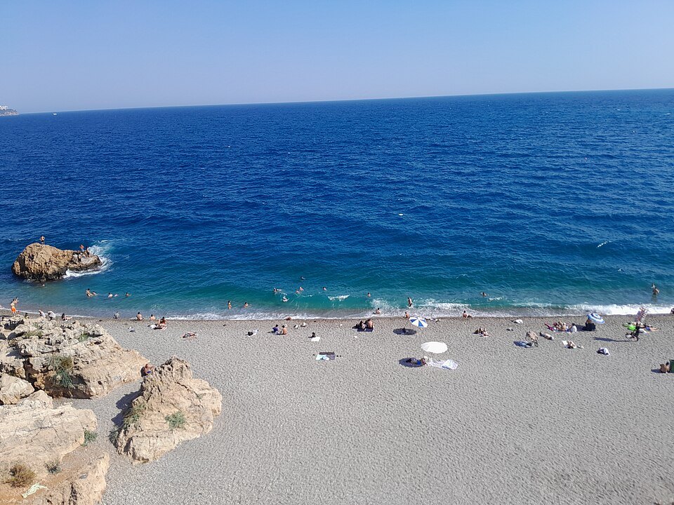
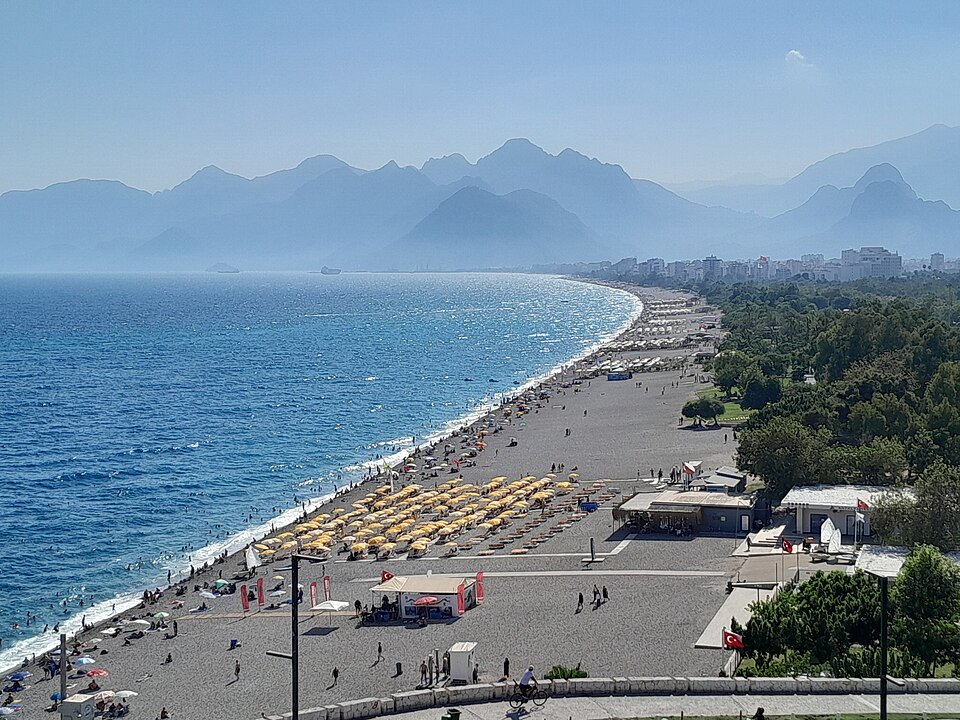
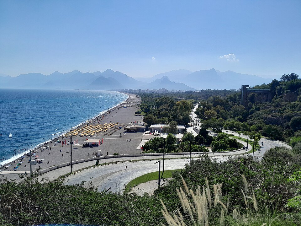
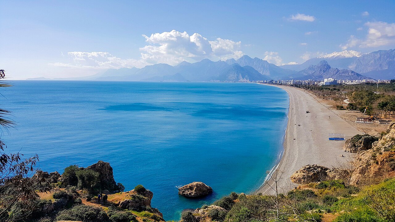
The city's western beach: several kilometers of smooth gray pebbles below a cliff-top park, with the Beydağları mountains closing the far end of the bay. In spring there is still snow on them while people are swimming.
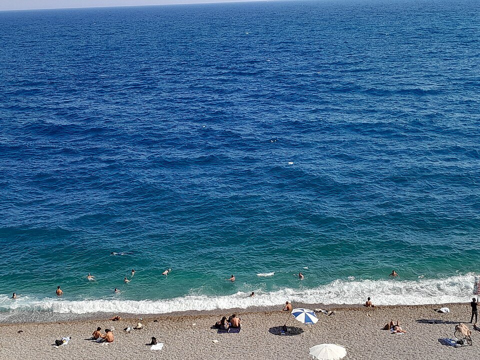
⚠️ Pebbles, not sand — large ones. Something to lie on and shoes for the water are worth having, and the shore shelves quickly.
How it works
The beach alternates between free public stretches and concessions that rent out loungers. The signs at each entrance are the authority on which is which, and the arrangement changes along the front and by season.
Behind it runs a long park and promenade, which is the pleasant way to arrive on foot from the cliff-top parks.
The bay under the cliffs
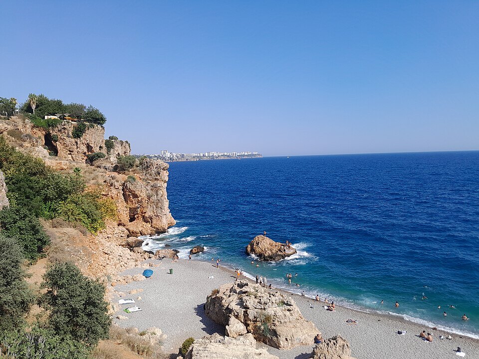
The name is usually explained as a corruption of Koyaltı, the bay under the cliffs, because the city of Antalya stands on cliffs above it. A second story, recorded in the official provincial history, says that when Antalya was a district of the Ottoman province of Konya, people arriving from Konya saw this coast and said they had come to the bottom of Konya, Konya altı. The beach begins where the western cliffs end and runs toward Antalya's port. How long it is depends on who is measuring: the governorship gives four to five kilometers, the metropolitan municipality about seven, and the English account thirteen for the whole stretch.
The shore is mostly fine pebbles with some sand, and the water is clear; it is a little cooler than at other Antalya beaches because of an underground stream flowing into the sea. The beach has Blue Flag status for water quality. Besides the public beach, more than thirty sections are run by private operators. Lifeguards patrol it, there are free changing rooms and showers, and the metropolitan municipality has built an accessible section with adapted facilities for visitors with disabilities.
An ancient city under the suburbs
Long before the beach was a resort, this corner of the coast held Olbia, a settlement on the border between Lycia and Pamphylia. Archaeologists from Akdeniz University have found its remains spread between Arapsuyu and the Boğa stream, centered on the headland at Deliktaş beside the Konyaaltı woods, with early walls 2.7 meters thick and quay blocks showing that ships could tie up there. It seems to have been founded by the Solymi, the people of Termessos in the mountains, as an outlet to the sea.
Ancient writers knew it: the geographer Hierocles listed Olbia as the fifth city of Pamphylia, neighbor to Termessos, and the numismatist Imhoof-Blumer suggested that some Lycian coins of the fifth century BC may have been struck here. It was strong enough to have its own colony in Lycia, called Cadrama.
Olbia also helps explain Kaleiçi. When King Attalus II of Pergamon wanted a harbor city in the second century BC, Olbia's anchorage was silting up with sand and river sediment, so he founded Attaleia on a better natural harbor nearby, together with some of Olbia's people. From the middle of that century Olbia lost its importance, though people still lived there in Byzantine times.
The remains begin on the headland at the eastern end of Konyaaltı, a small hill 9.8 meters above the sea, and spread north as far as the university campus; research in the early sixties first recorded the quay blocks.
From farmland to city
Until the eighties most of this area was countryside. The neighborhoods that now make up the district, such as Arapsuyu and Uncalı, were villages with fields and sheep, and many streams that once ran here dried up as the city spread. In the early years of the Republic it was known for farmland such as the Mursi estate, which Atatürk visited. Konyaaltı became a municipality on September 2, 1993, and later a district; today it holds Antalya's main port, its free zone, Akdeniz University and many of its hotels.
The district now covers 546 square kilometers, with a population of 204,795 in 2022, and reaches well beyond the beach: it includes the Saklıkent ski center in the mountains, the Kapuz Canyon, and the Topçam and Çaltıcak day-use beach areas farther along the Kemer road.
Along the front
Behind the beach runs a long park and promenade lined with Turkish pine and hibiscus, with cafés, bars and hotels, and the Aqualand water park along Dumlupınar Bulvarı. Konyaaltı is Antalya's western beach, easy to reach from anywhere in the center; Lara Beach to the east is the other main one. Between them, the metropolitan municipality lists five small public beaches below the cliffs of the city center, run by the Muratpaşa municipality: İnciraltı, Engelsiz Kafe, Erdal İnönü Kent Parkı, Erenkuş and Konserve Koyu, and Mermerli Beach right inside the old harbor of Kaleiçi. From Konyaaltı the view across the bay is closed by the Beydağları mountains, part of the Taurus range.
Sources
- Konyaaltı — T.C. Antalya Valiliği
- Tarihçe — Konyaaltı Belediyesi
- Dünden Bugüne Antalya: Konyaaltı — Antalya İl Kültür ve Turizm Müdürlüğü
- Plajlar ve Koylar — Antalya Büyükşehir Belediyesi
- Konyaaltı Beach — Wikipedia
- Konyaaltı — Wikipedia