What it is
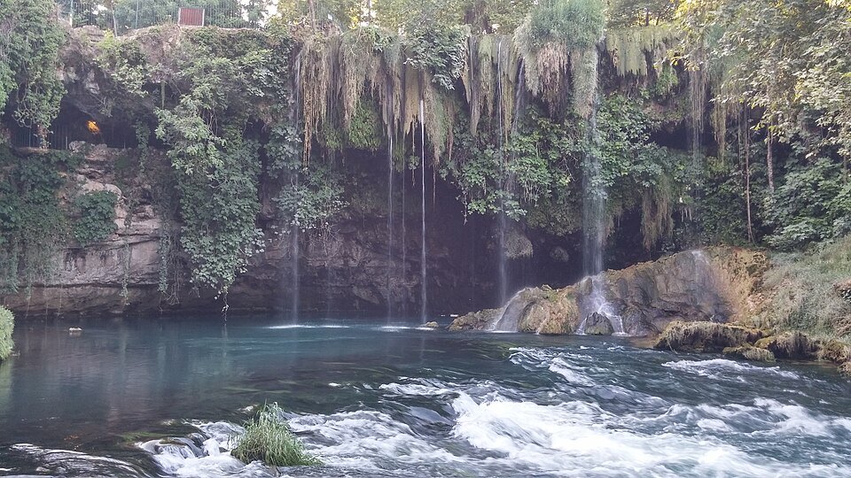
The Düden river surfaces, disappears and surfaces again through the travertine shelf the city sits on, and it falls twice.
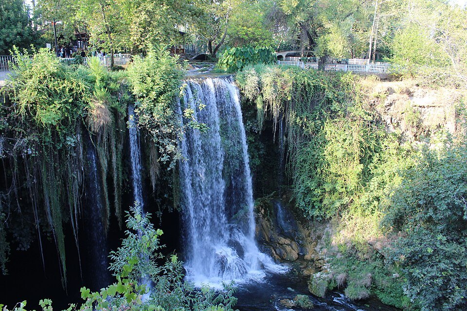
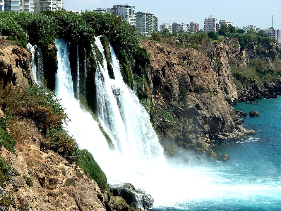
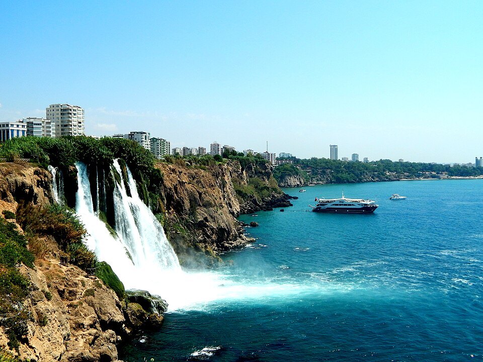
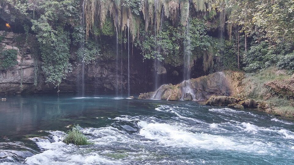
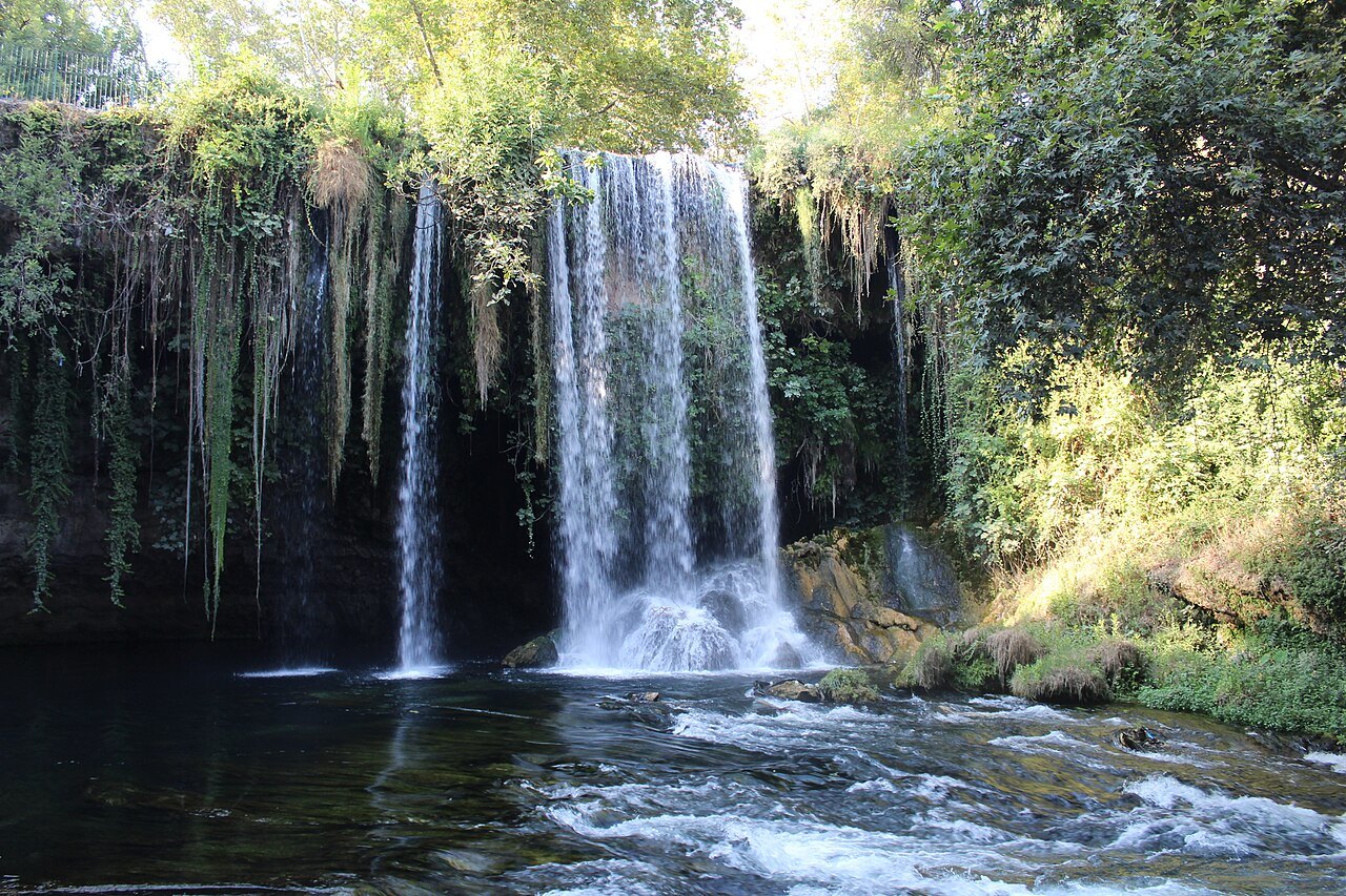
⭐ The upper falls are inland, in a park north-east of the center, where the water drops into a wooded basin and a path runs behind the curtain of it through a cave. The lower falls are at the coast, where the river reaches the edge of the cliff and goes over it straight into the sea.
Which one to see
The lower falls are the photograph — water falling off a cliff into open Mediterranean, best seen from the clifftop park beside them or from a boat.
The upper falls are the better walk, and the cave behind the water is the part people remember.
A river that disappears and comes back
The Düden is a karst river, and it spends much of its course underground. About 30 kilometers north of Antalya, two large springs, Kırkgözler and Pınarbaşı, merge and vanish into the Bıyıklı sinkhole. The water travels 14 kilometers underground, shows itself briefly in the Varsak pit, and after another three kilometers reappears at the foot of the Upper Düden falls. Part of the flow is diverted through a canal and an underground pipe to the Kepez 1 hydroelectric plant, and some of the water leaving the plant is carried back by canal to form the waterfall itself.
Below the upper falls the river is a substantial stream again, and seven irrigation channels carry its water to farmland north-east of the city. Near the coast it divides into several branches and pours over the cliffs into the Mediterranean as the Lower Düden falls.
The Upper Düden
The upper falls lie in the Kepez district, inside a fenced park around the spring and the basin the water drops into. The falls are also known as the İskender falls, from the story that Alexander the Great watered his horses here as he passed through the region. In the valley around them are the remains of Lyrboton Kome, a settlement some 2,200 years old that was known in the Hellenistic period for its olive oil; excavations have uncovered olive oil workshops, and rock-cut tombs around the valley suggest the place was considered sacred. Today it is a place to eat, rest and walk, run by companies owned by the metropolitan municipality.
The Lower Düden
The lower falls are in the Lara area, east of the center, where water from the roughly eight-kilometer Düden stream drops about 40 meters from the cliffs straight into the sea. They are surrounded by Düden Park, open to the public, and they can also be seen from the water on a boat trip from Antalya's yacht harbor. The ancient city of Magydos is known to have stood in this area, also called Karpuzkaldıran, and some sources say its fresh water came from the Düden by aqueduct; some of its remains are displayed at a facility in Karpuzkaldıran.
The river of the ancient writers
In antiquity the river was the Katarraktes, the cataract, one of the main rivers of Pamphylia. The geographer Pomponius Mela said it took its name from its great fall and placed the city of Perge between it and the Cestrus; Strabo described it falling over a high rock, and the coastal survey known as the Stadiasmus called it simply the Falls. Its waters, dividing into branches on the cliffs, have built up a crust of limestone through which they seep to the sea. The falls became a symbol of the city, and the river god appears on several of Antalya's ancient coins.
The same old description puts the river's mouth a little to the west of Laara, and the Stadiasmus names the place where it met the sea as Masura, which is probably the Magydus of the geographer Ptolemy. The municipality's own guide counts the Düden with the Köprü and the Manavgat as the rivers that have watered the province since ancient times, and notes that the falls caught the attention of every traveler who passed.
The people of Varsak
The upper falls sit inside what was the town of Varsak, now part of the Kepez district, which the provincial history lists among Antalya's important public places alongside the wholesale market, the bus station and the zoo. The Varsak people lived around the Düden falls and the Kuru Düden for centuries, mostly raising livestock and moving between these two settlements and summer pastures in the mountains of Korkuteli.
They settled for good only after 1960, and the area grew quickly as farming, greenhouses and flower-growing took hold. Varsak stayed a village until 1973, when it became a municipality, and it was later folded into the metropolitan municipality. That is why the falls feel less like a remote beauty spot than a large city park on the edge of a residential district.
Sources
- Antalya'nın Şelaleleri — Antalya Büyükşehir Belediyesi (2023)
- Düden Waterfalls — Wikipedia
- Düden River — Wikipedia